Across north-west Namibia, community rangers are using real-time data and traditional knowledge to help protect livestock, support farmers and safeguard a recovering lion population
The dogs sensed them first. Three skinny lions lurking at the edge of the farm, hungrily sizing up the roving feast of goats, poultry – and small children. As the hounds began barking furiously, the kids ran, shrieking, to the safety of the farmhouse.
“They were shouting: ‘Guys: go inside! Go into the house! Lions! Lions! Lions!” recalls Benjamin Kordom. “They’d never seen lions in the wild, only in pictures at school. This was the first time lions had ever come to the farm.”
It was a first for Kordom, too. His family farm lies 80km (50 miles) south of Khorixas, a gateway town to the untamed, arid landscapes of north-west Namibia’s Kunene region. That night, the lions helped themselves to a duck and chicken dinner. Chased off by local rangers, they slunk away to a neighbouring farm and killed a dozen dogs.
The incident, in 2018, is a snapshot of an ongoing challenge playing out across Kunene, where shifting rainfall patterns are bringing lions into unfamiliar territory – and into closer contact with humans.
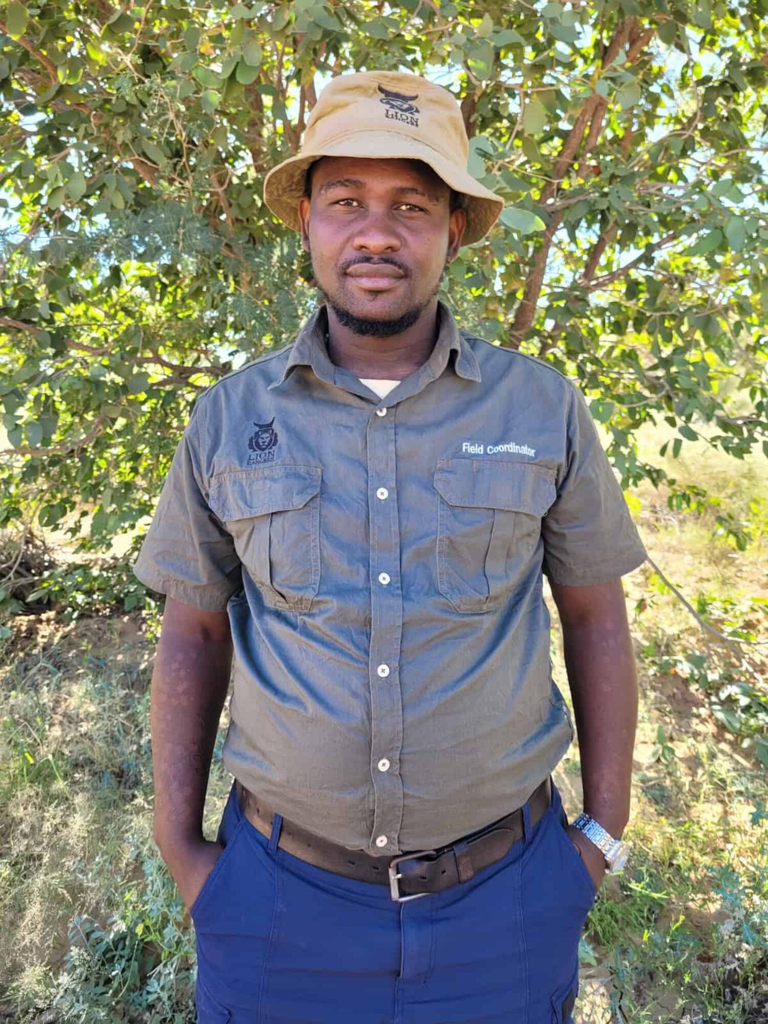
Benjamin Kordom is part of Namibia’s Lion Rangers programme. Image: Lion Rangers
It also sowed the seed for Kordom joining Namibia’s Lion Rangers programme, a community-based initiative operating across 11 conservancies. Eight years on, instead of barking dogs, Kordom and his colleagues rely on smartphones, camera traps and GPS collars to provide the early warning of lions on the prowl.
“Having rangers on the ground, with this equipment, plus rapid response drivers ready with vehicles – that’s what makes this work,” Kordom says. “It’s very successful at reducing human-wildlife conflict.”
Conservation efforts saw north-west Namibia’s dwindling lion population rebound from around 20 adults in 1997 to around 180 by 2015. These ‘desert lions’ have evolved to survive the region’s arid and semi-arid conditions, but since the mid 2010s their wild prey base has fallen by around 72.5% and the big cats have increasingly turned to livestock for food, sparking a surge in human-lion conflict.
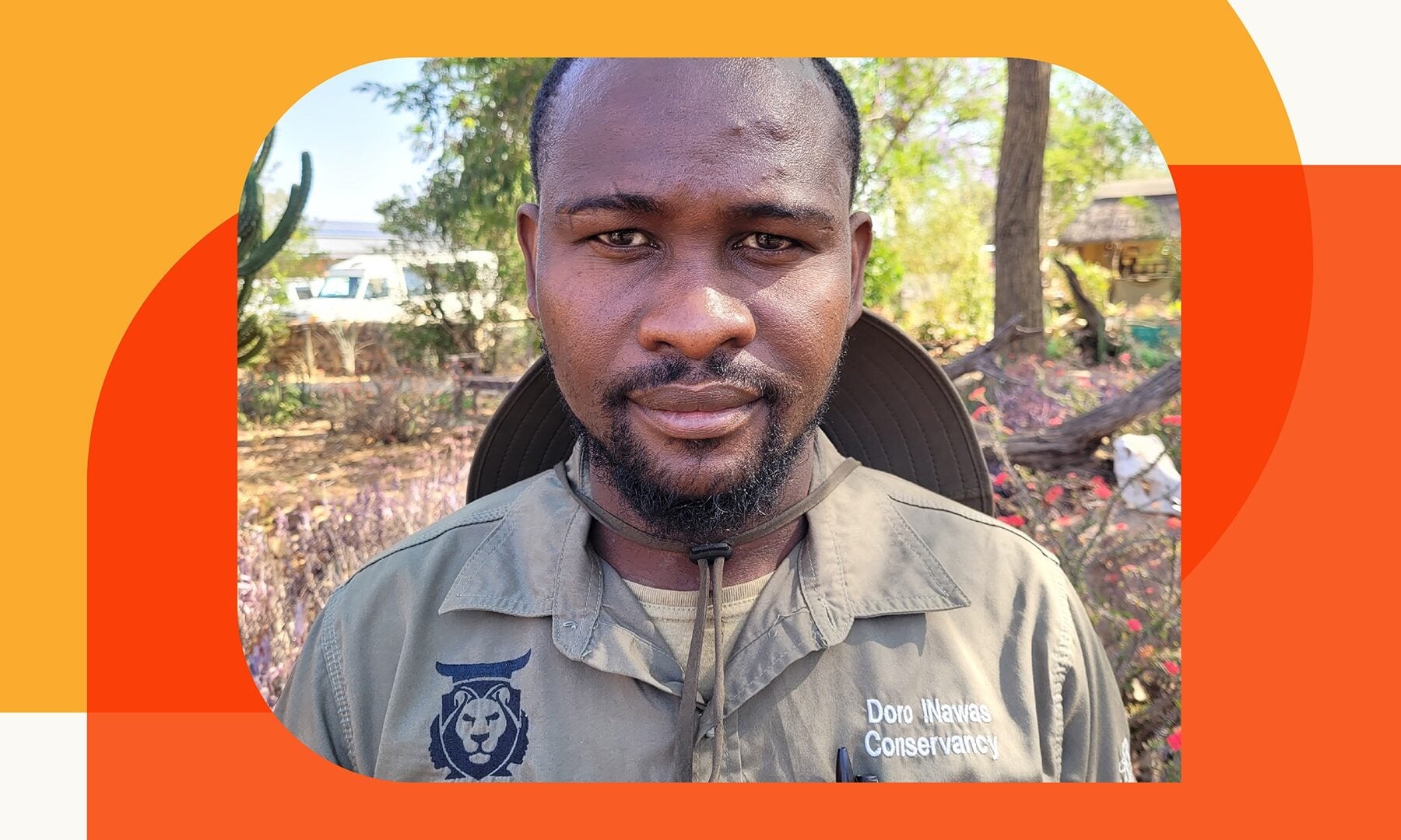
Lion Rangers was created in 2018 as part of a broader effort to manage these tensions. Kordom was appointed to the project by the Doro !Nawas conservancy – initially as a volunteer – shortly after its inception, working his way up through the ranks to his current, paid role of field coordinator.
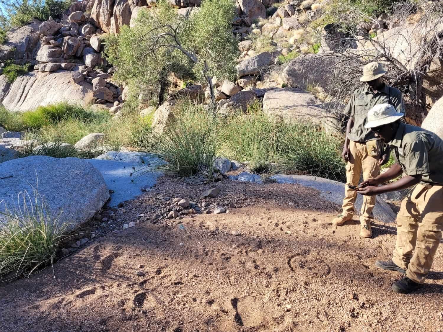
Lion Rangers Riphelvius Sanib and Nelson Sanib recording lion tracks in June 2026. Image: Lion Rangers
Today, he oversees more than 40 rangers, patrol leaders and rapid response team members, many of them farmers themselves, who have the task of keeping track of the lions across a 40,000 sq km (15,440 range), from the fog-bound Skeleton Coast to the fringes of Etosha national park.
Patrolling up to 40km (25 miles) a day on foot, rangers note every observation: sightings of lions, prey and other carnivores; signs of tracks or lion scat; evidence of kills and lion deaths. They note lions’ body condition, signs of injury, even characteristics such as how the animals hold their heads as they stalk the desert plains.
Until five years ago, this information was gathered the old-fashioned way: pencil and notebook. But Kunene’s vast range posed a headache. Patrol camps were scattered across huge expanses of landscape and getting handwritten records back to someone who could act on them might take days.
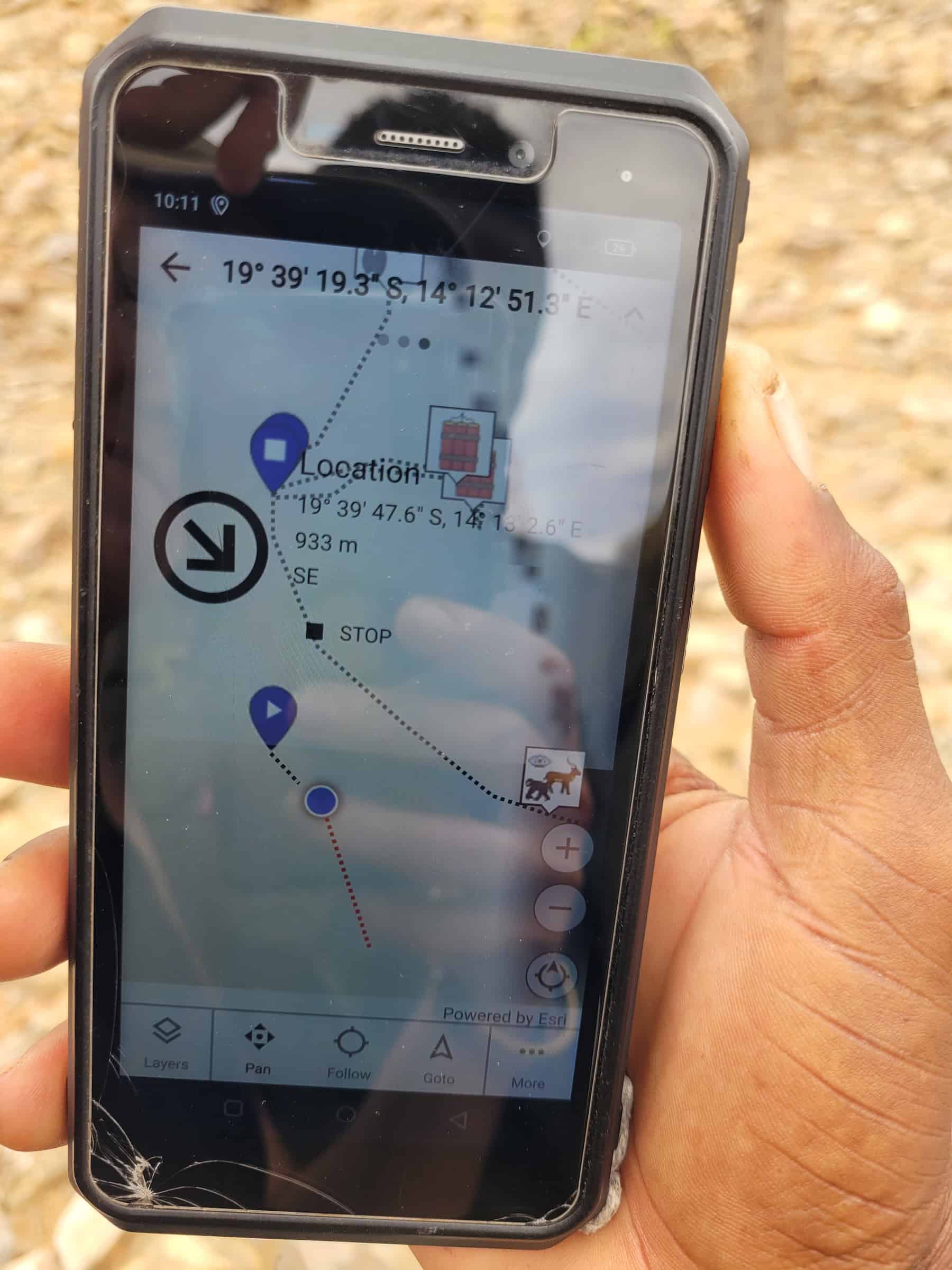
Since 2021, rangers have carried smartphones loaded with Spatial Monitoring and Reporting Tool (SMART), a free software suite built for conservation. It tracks rangers’ movements and allows them to log and share every observation and action – from maintaining predator-proof livestock kraals to visits from the vet – in real time, or at least as soon as they find a data connection.
Over time, feedback from rangers has shaped exactly what data is collected. The numbers are crunched by Lion Rangers coordinator Mathilde Brassine, who files reports back to patrols and to individual conservancies. They share ultimate ownership of the raw data with MEFT, Namibia’s Ministry of Environment, Forestry and Tourism.
For Kordom, who oversees boots on the ground, the insights from SMART have proved invaluable. Combined with camera trap information and GPS data from 44 collared lions, they help him to pinpoint weak spots in monitoring, to pre-empt conflict and mobilise rapid response teams.
“I send lion locations to patrol team leaders and they use the SMART reports to decide where to patrol,” he says. “Rangers might walk 20km to warn a remote farm that lions are heading in their direction, but if we have a rapid response team in the area, we can send them to chase the lions away.
“Sometimes the rangers will gather livestock and bring it home to safety. Communities respect rangers for their work.”
Having rangers on the ground, with this equipment, plus rapid response drivers ready with vehicles – that’s what makes this work
The SMART reports also fuel some friendly rivalry between rangers, who take pride in covering the most ground during their patrols. “Some of them take it very seriously,” Kordom says. “They like to see their name at the top of the list.” Each year, the best performers are honoured at an annual awards ceremony, with prizes of livestock for the winners.
That transparency cuts both ways. Every kilometre walked and every observation logged is time-stamped and geo-tagged, meaning rangers’ work is visible not just to coordinators like Kordom and Brassine, but also to government ministries and funders. In one 18-month period, rangers covered almost 280,000km – equivalent to seven times around the world – of which 88,000km were on foot.
“It’s very useful because the information doesn’t just stay with us,” Kordom says. “It also goes to the different donors that support the programme, so they see the hard work the rangers are doing on the ground.”
SMART’s data trail makes the case for itself: it’s hard evidence of the vast distances covered by the team, and their contribution to pastoralists’ changing attitudes towards lions.
As of 2023, human-lion conflict incidents had fallen by a third. They’ve since risen, largely due to better detection and dispersal of wild prey caused by changing weather patterns, which brings lions into unfamiliar territory.
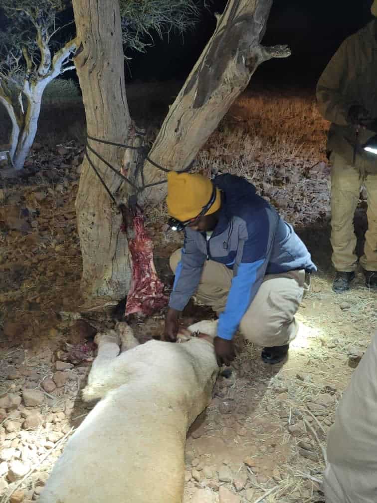
Some areas of north-west Namibia have gone years without rain, while others have received good rains in early 2025 and 2026. As lions follow prey into new areas and younger animals disperse in search of territories, they can find themselves in unfamiliar surroundings, where they may take greater risks and turn to livestock for food.
Despite the potential for conflict, Brassine notes that farmers are growing more tolerant of their big cat neighbours. In six of the conservancies covered by the initiative, illegal lion killings have been eliminated entirely, and today the desert lion population stands at 60 individuals, considered stable by Lion Rangers.
At a grassroots level, Brassine is eager for communities to feel the benefits of this technology directly, rather than simply hear about it secondhand. Beyond rangers and programme coordinators, SMS alerts triggered when GPS-collared lions cross virtual geo-fences are sent straight to select pastoralists. The same collars can also trigger sirens and spotlights on 16 early warning towers sited in known conflict hotspots close to farms.
“You can’t do conservation without including the community,” says Brassine. “If there’s a feeling that researchers, white people or foreigners are somehow above and they get to know everything – and communities are not trusted – that just leads to more poaching.”
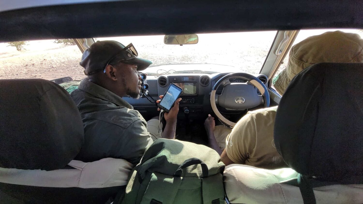
SMART reports fuel friendly rivalry between rangers, who take pride in covering the most ground during their patrols. Image: Lion Rangers
Still, there are limitations. Rangers continue to rely on tracking skills handed down by great-grandparents, and Kordom admits there are times when the tried and trusted old ways trump technology. Lags in data transfer, for example, can mean a lion is long gone by the time rangers reach its supposed position.
“One time, we were given the coordinates for a lion, but we waited 12 hours and didn’t see it,” he says. “We got off the vehicle, located fresh tracks and found the pride, eating a fresh kill of giraffe.”
Lion Rangers is far from the only project deploying technology to help rangers work faster, smarter and across greater distances. From Kenya’s Kasigau corridor, where female rangers have trained as drone pilots to monitor elephants, to Mbam-Djerem national park where acoustic sensors are being used to track chimpanzees, digital advances are equipping conservation teams with new ways to understand, protect and live alongside wildlife.
But as those become more sophisticated, new limitations are emerging. In some parts of Africa, the question is not simply whether the technology works, but who gets to use it. Communities living alongside wildlife often stand to gain the most from better information, yet poor infrastructure can keep it out of reach.
Imagine if communities had access to these technologies right away – they might come up with the best solutions ever. They'd be in a better position to co-exist with elephants
In Mozambique’s Gorongosa national park, communities are helping shape long-term solutions to elephants raiding their farm but remain shut out of real-time information flows.
Dominique Gonçalves, who heads up Gorongosa’s Elephant Ecology Project, is using GPS collars, geo-fences and rapid response teams to try to restore peaceful coexistence between elephants and farmers. Communities are consulted on strategies such as installing beehive fences (elephants are wary of bees), but GPS alerts go to a control room, which deploys rangers to ward off conflict.
“We’re not there yet,” Gonçalves says. “But imagine if communities had access to these technologies right away – they might come up with the best solutions ever. Technology would give them the tools to adapt, and they’d be in a better position to co-exist with elephants.”
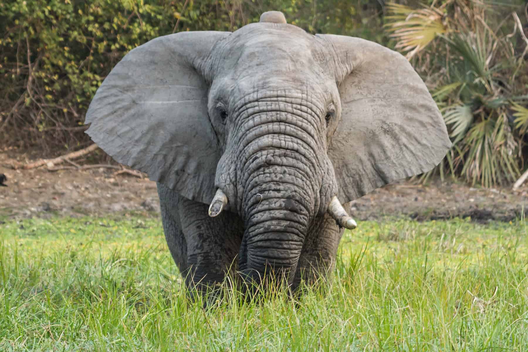
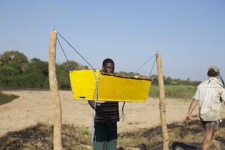
Back in Kunene, for all its GPS collars, software and geo-fences, at the heart of the Lion Rangers programme is centuries-old knowledge, held by people who belong to the landscape, and who choose to protect what threatens their livelihoods.
Kordom straddles both sides of that story: he’s the ranger dispatching rapid response teams to chase lions from a herder’s kraal, and also a farmer who is starting again from scratch after drought wiped out his entire herd. Lions may make an already precarious recovery even tougher still, and yet he can’t imagine a future for Kunene without them.
“I will never live without farming,” he says. “I grew up on a farm, so I will die as a farmer. I won’t say there must be no lions, or that there must be no farming. Let’s try to live together with these lions.”
Main image: Lion Rangers
 Portraits of a Shared Land brings readers face-to-face with some of the people reshaping conservation across Africa, exploring approaches that place communities, local knowledge and lived experience at their heart. This series is produced by Positive News and supported through a Human-Centred Conservation Storytelling Grant from Jamma Conservation & Communities.
The views and opinions expressed in this story are those of the authors and contributors and do not necessarily reflect those of Jamma Conservation & Communities